Introduction:
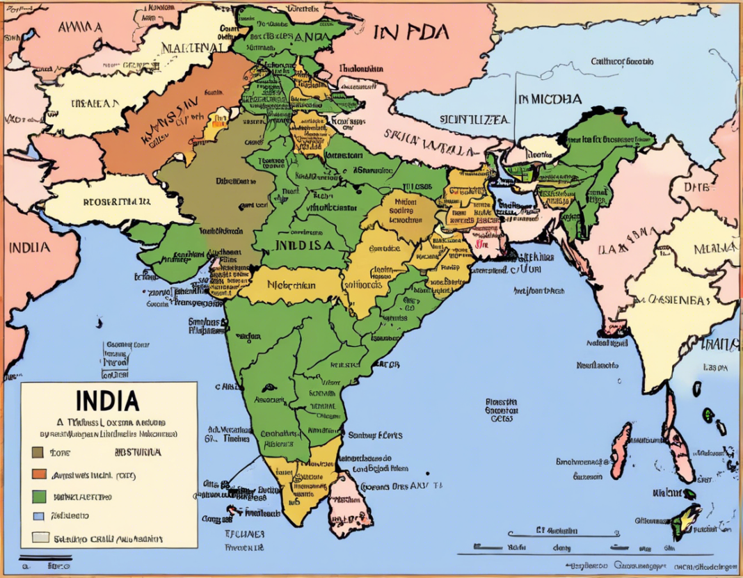
India is a land of diverse cultures, languages, landscapes, and traditions. From the snow-capped Himalayas in the north to the palm-fringed beaches of the south, India offers a visual feast for travelers and explorers alike. One of the best ways to understand and navigate this vast subcontinent is through maps. Maps not only help us locate places but also tell stories of history, politics, and culture. In this article, we will embark on a visual journey through India using different kinds of maps to explore its topography, political boundaries, cultural heritage, and more.
Topographical Maps:
India’s geography is as diverse as its culture, and topographical maps are essential tools for understanding the landforms and physical features of the country. The Himalayas, the Thar Desert, the Western Ghats, and the Ganges Plain are just a few of the prominent features that can be identified on a topographical map of India. These maps use colors and contour lines to represent elevations, mountains, rivers, and plains, giving us a vivid picture of the country’s varied terrain.
Political Maps:
India’s political map showcases its administrative divisions, including states, union territories, districts, and cities. It delineates the 29 states and 7 union territories, each with its own capital and distinct identity. Political maps are crucial for understanding the federal structure of the Indian government and its decentralized decision-making process. They also help in planning journeys, locating important cities, and understanding the geopolitical landscape of the country.
Cultural Maps:
India’s cultural diversity is legendary, and cultural maps play a vital role in highlighting this richness. These maps showcase the distribution of languages, religions, festivals, cuisines, and traditional arts across different regions of India. For example, a cultural map might depict the linguistic diversity of India by showing the concentration of Hindi, Bengali, Tamil, or Punjabi speakers in various states. Similarly, a map of religious diversity could illustrate the distribution of Hindus, Muslims, Christians, Sikhs, Buddhists, and Jains across the country.
Historical Maps:
To truly appreciate India’s heritage, one must explore its history through maps. Historical maps of India trace the evolution of civilizations, empires, trade routes, and architectural marvels over millennia. From the Indus Valley Civilization to the Mughal Empire to the British Raj, these maps offer a visual narrative of India’s past and help us connect with ancient ruins, temples, forts, and palaces that dot the landscape. They provide context to landmarks like the Taj Mahal, Qutub Minar, Ajanta Caves, and Red Fort, showcasing their historical significance.
Road Maps and Transportation Networks:
For travelers and adventurers, road maps and transportation networks are indispensable tools for navigating Indian roads and highways. Whether you are planning a road trip through the scenic mountains of Himachal Pradesh or exploring the backwaters of Kerala by boat, these maps offer detailed routes, distances, rest stops, and attractions along the way. With the expansion of national highways, expressways, railway lines, and airports, India’s connectivity has improved, making it easier to traverse the length and breadth of the country.
Ecological Maps:
In recent years, ecological maps have gained importance due to growing concerns about environmental conservation, biodiversity, and climate change. These maps provide insights into India’s natural resources, wildlife sanctuaries, national parks, wetlands, forests, and ecological hotspots. By mapping endangered species, protected areas, pollution levels, and deforestation, ecologists and policymakers can better understand the ecological balance in different regions and work towards sustainable development.
Urban Planning Maps:
India’s urban centers are rapidly expanding, giving rise to megacities like Delhi, Mumbai, Kolkata, and Bengaluru. Urban planning maps are crucial for managing this growth, ensuring efficient use of land, infrastructure development, and disaster preparedness. These maps delineate zones for residential, commercial, industrial, and recreational purposes, along with facilities like schools, hospitals, markets, and parks. They also highlight areas prone to natural disasters like floods, earthquakes, and landslides, aiding in disaster mitigation strategies.
Tourist Maps and Points of Interest:
For tourists exploring India, tourist maps are indispensable for discovering popular attractions, heritage sites, scenic wonders, and cultural landmarks. Whether you are planning to visit the Golden Temple in Amritsar, the Ajmer Sharif Dargah in Rajasthan, or the Backwaters of Alleppey in Kerala, these maps provide information on ticket prices, timings, amenities, and nearby accommodations. They also highlight offbeat destinations, hidden gems, local markets, and food streets that add flavor to your travel experience.
Conclusion:
Maps serve as windows to the world, allowing us to explore, navigate, and connect with different facets of a country like India. Whether you are a geographer, historian, traveler, urban planner, ecologist, or tourist, maps play a crucial role in your journey of discovery. By delving into topographical, political, cultural, historical, ecological, urban planning, and tourist maps of India, we gain a deeper appreciation of its complexity, beauty, and diversity. So, grab a map, chart your course, and set off on an adventure through the kaleidoscopic landscapes of India.
FAQs:
-
What is the significance of topographical maps in exploring India?
Topographical maps help in understanding India’s varied terrain, including mountains, rivers, plains, and deserts, which are essential for navigation and geographical analysis. -
How do political maps of India differ from cultural maps?
Political maps show administrative divisions like states and union territories, while cultural maps highlight linguistic, religious, and culinary diversity across different regions. -
Why are historical maps important for understanding India’s heritage?
Historical maps trace the evolution of civilizations, empires, and landmarks, offering insights into India’s rich cultural past and architectural legacy. -
How do ecological maps contribute to environmental conservation in India?
Ecological maps help in identifying biodiversity hotspots, protected areas, endangered species, and ecological threats, aiding in conservation efforts. -
What information can be found on urban planning maps of Indian cities?
Urban planning maps delineate land use zones, infrastructure facilities, disaster-prone areas, and development plans for efficient city management and sustainable growth.


